A walk around Horsbere Brook wetland area
A nice one hour walk around Horsbere Brook wetland area
The 50 acre Horsbere Brook flood storage area was created in 2010 following a series of flash floods that affected more than 300 homes in Gloucester. The £1.5m project involved creating a huge ‘depression’ capable of accommodating the equivalent of 70 Olympic swimming pools full of water. If there’s torrential rain the water is now diverted into the depression, and it is then slowly released later.
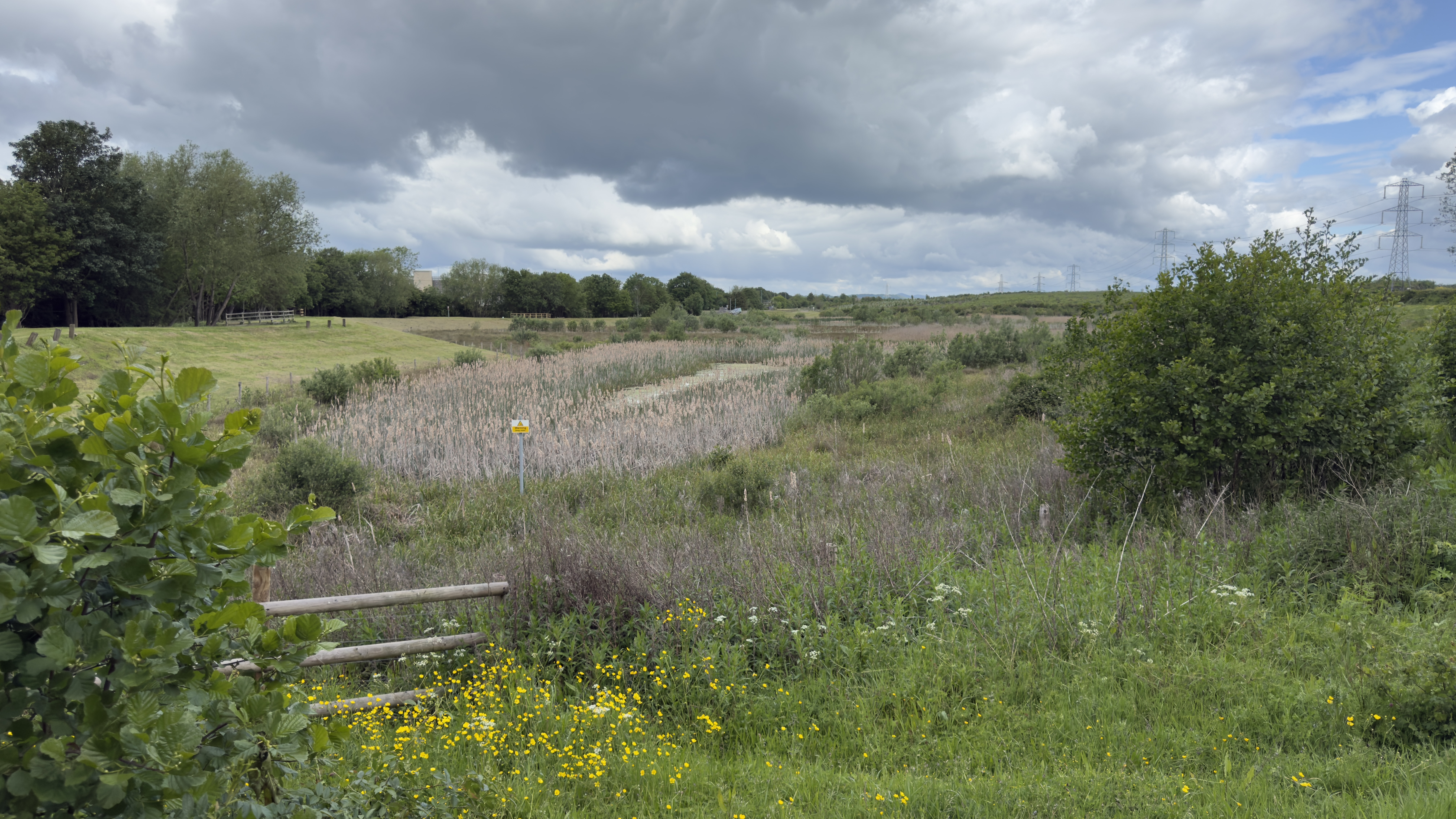
As well as reducing the risk of flooding the storage area was also designed to be a natural looking ‘wetland’ landscape, and, over the last few years, it has become a delightful local nature reserve – attracting many rare birds to the area. Otters have also been spotted in the brook.
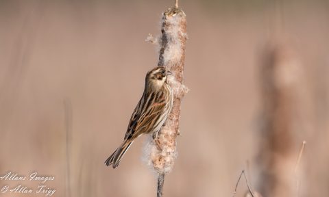
In 2014 hundreds of twitchers converged on the site to see a pair of rare penduline tits, and kingfishers, egrets, heron, swans and a wide range of both rare and more common birds are now regularly spotted there. This video shows the penduline tits. https://www.youtube.com/watch?v=GwmuHj58k4s.
The Campaign for the Protection of Rural England have given the project an award, praising the scheme for creating a “new wetland habitat and increasing recreation opportunities and amenity.”
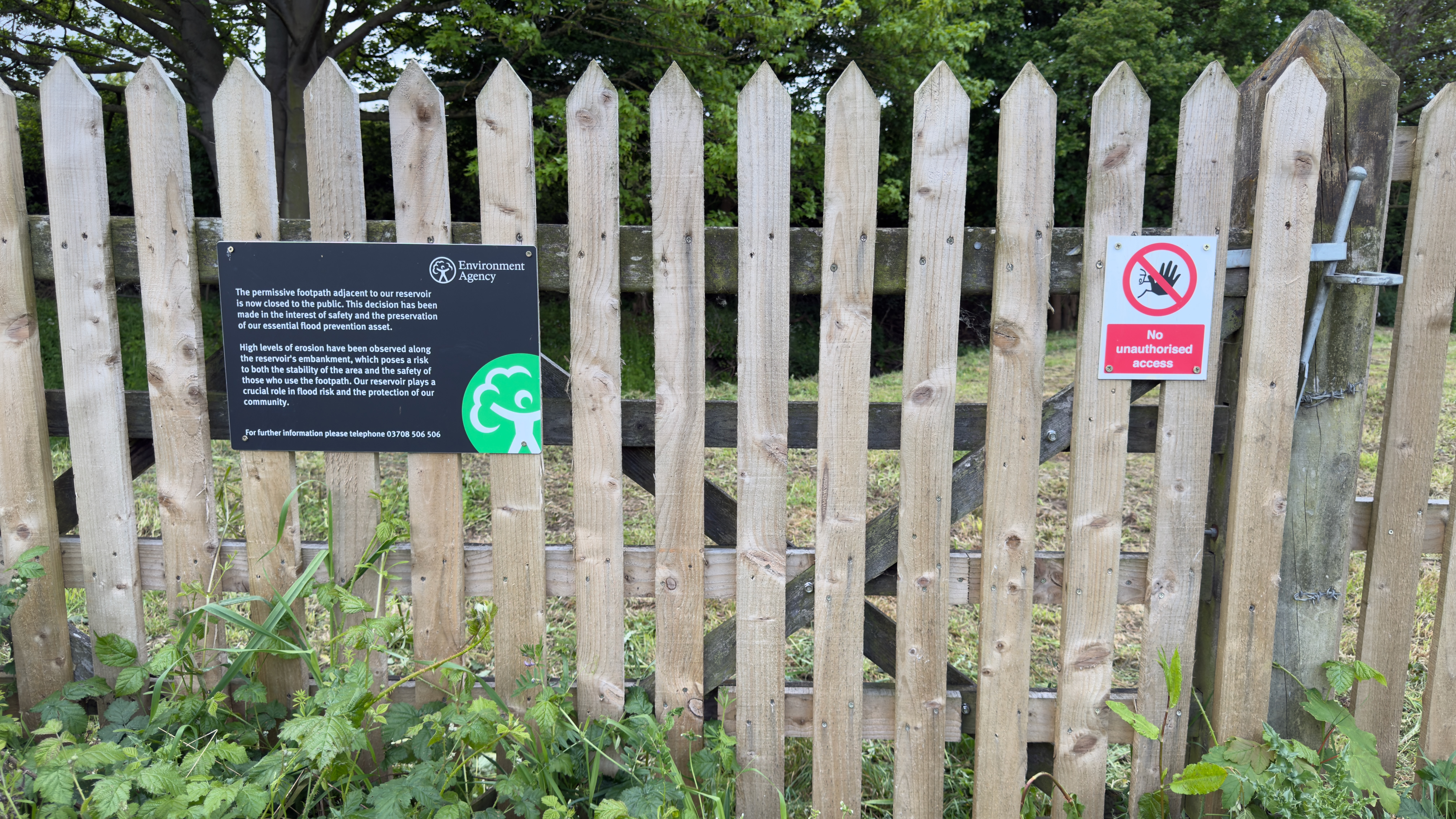
Following an Environmental Agency decision based on personal safety and preservation of the flood defences, it is no longer possible to walk all the way around the wetland area, as half of the bank is now closed to the public. Visitors can still walk a path across the other half, and watch for wildlife from a well-placed bench. The wetland area itself is now fenced off from the path to prevent anyone paddling or swimming.
In addition to the wetland area, a new nature reserve comprising "The Mound" and "Cliff's Wood" has been opened on the other side of the access footpath, offering more trails and access to a footpath extending to Churchdown.
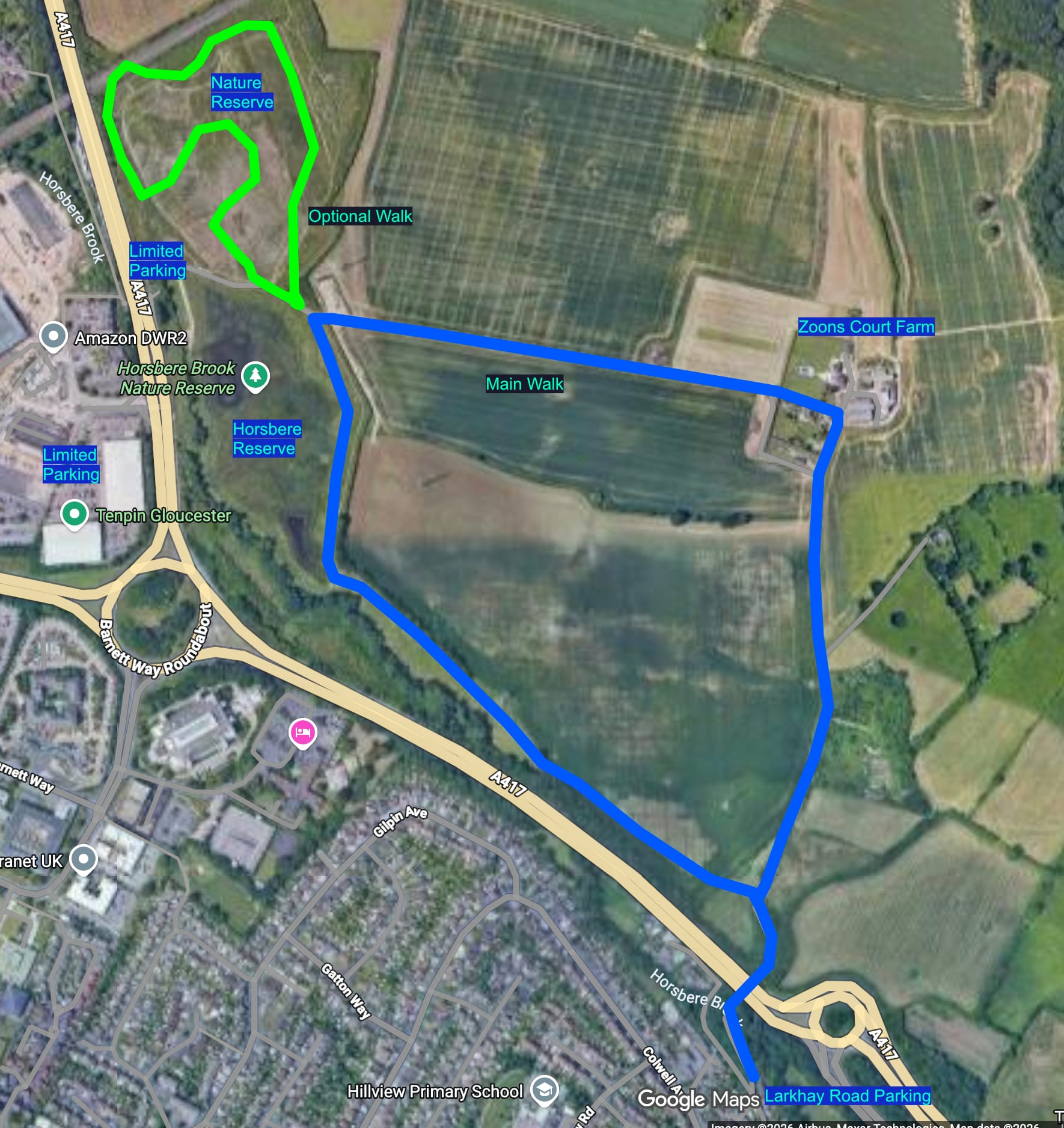
If you just want to visit the wetland area and nature reserve, you can park at the ‘works access’ turning area, or the large lay-by on the southbound side of the A417 dual carriageway (note that this may be occupied by lorries taking a rest break), or in the car park between the Premier Inn and Ten Pin Bowling complex, and then walk over the dual carriageway via the footbridge.
The main wetland area contains water of varying depths, deeper at the northern end, shallower at the southern end with scrubby dry patches, sand bars and channels. This can all change very quickly if there’s a big downpour as the water levels rise.
If you want to enjoy a longer walk alongside the Brook that feeds into the wetland area, and stroll through some of the surrounding countryside I would suggest parking in Larkhay Road. (see the map). Note – when heading into Gloucester along Hucclecote Road you can locate Larkhay Road by going right after the M5 bridge (along Churchdown Lane), then first left (Zoons Road), then second right (which should take you into Larkhay Road).
Directions from Larkhay Road
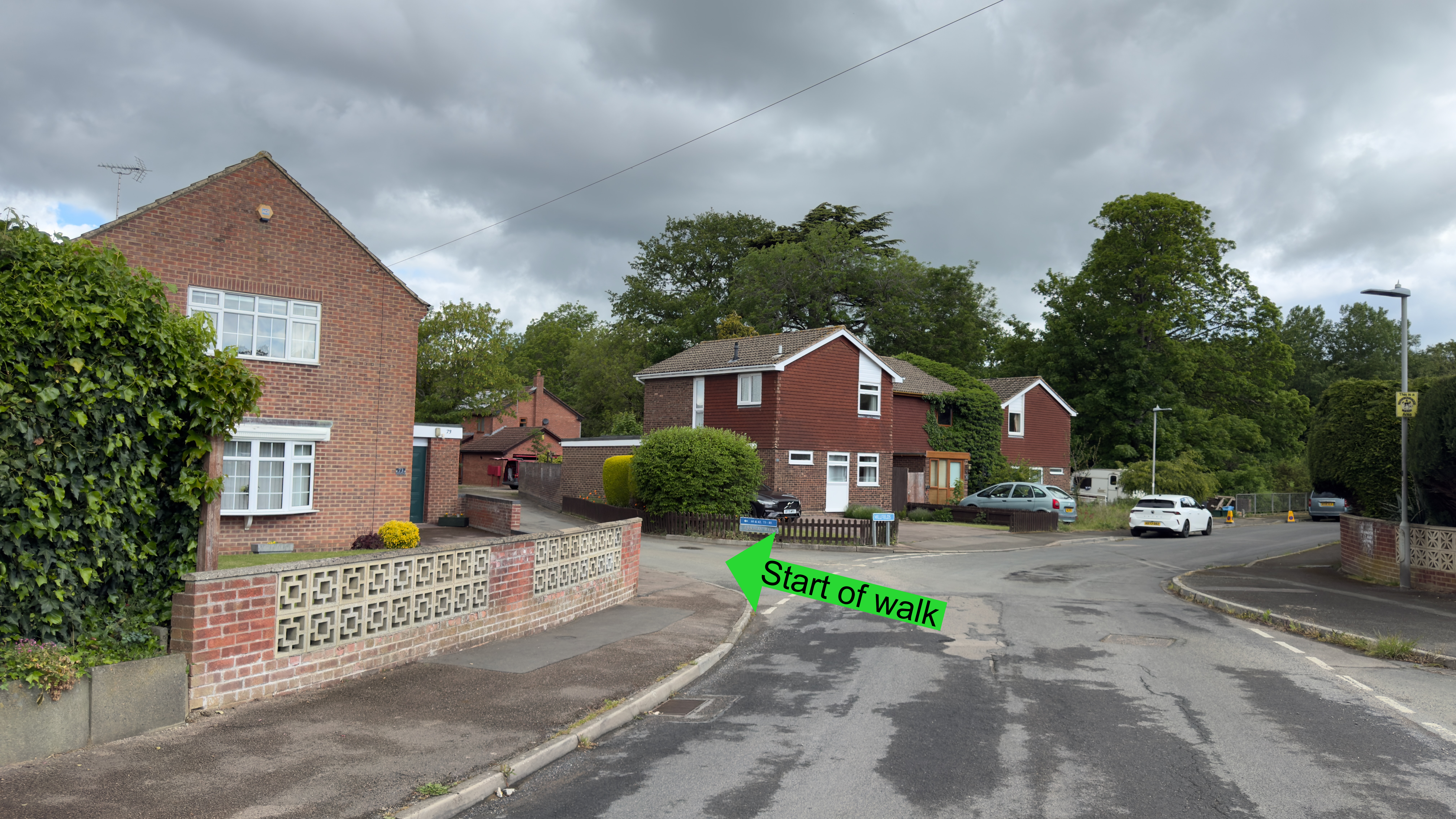
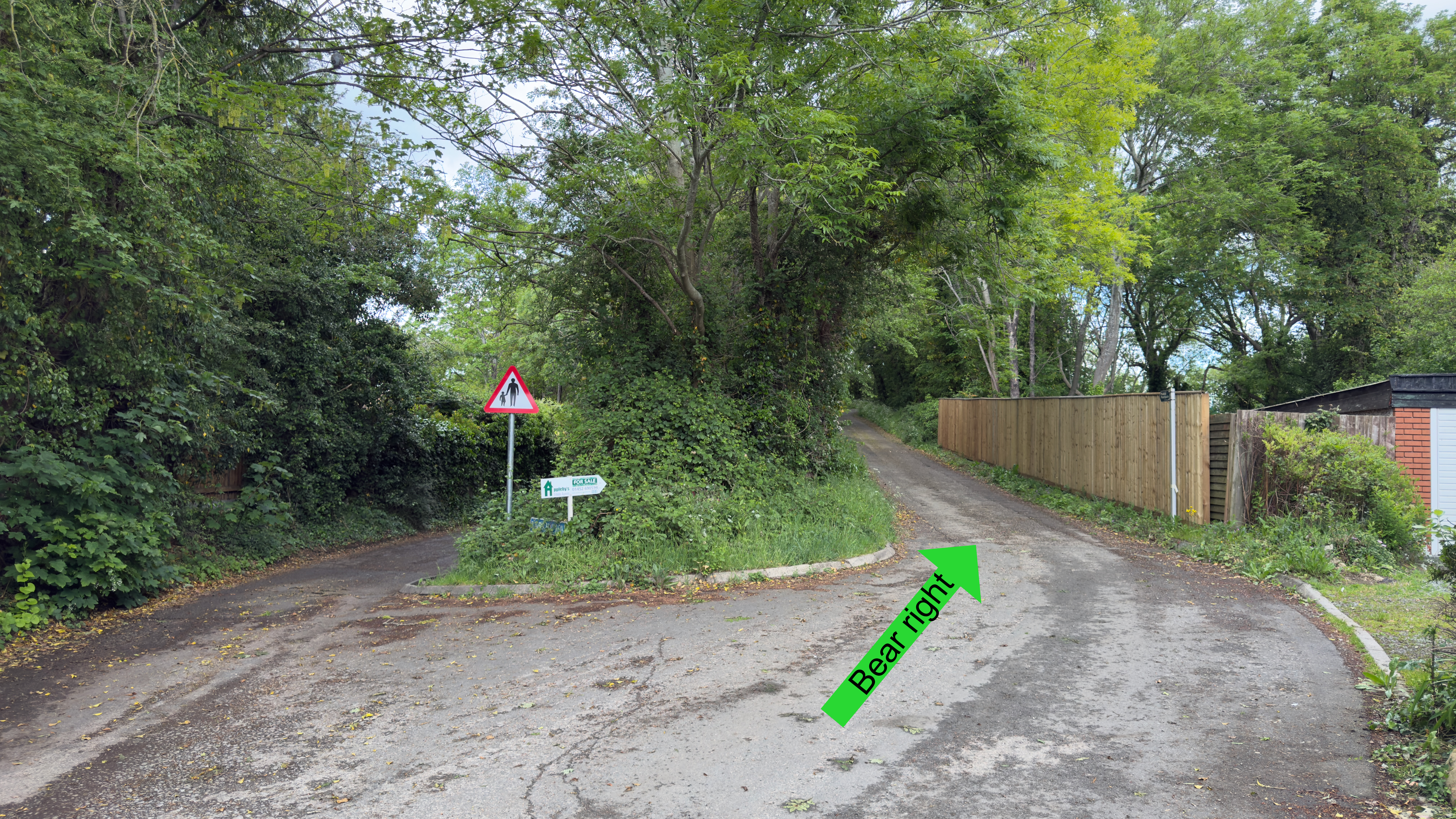
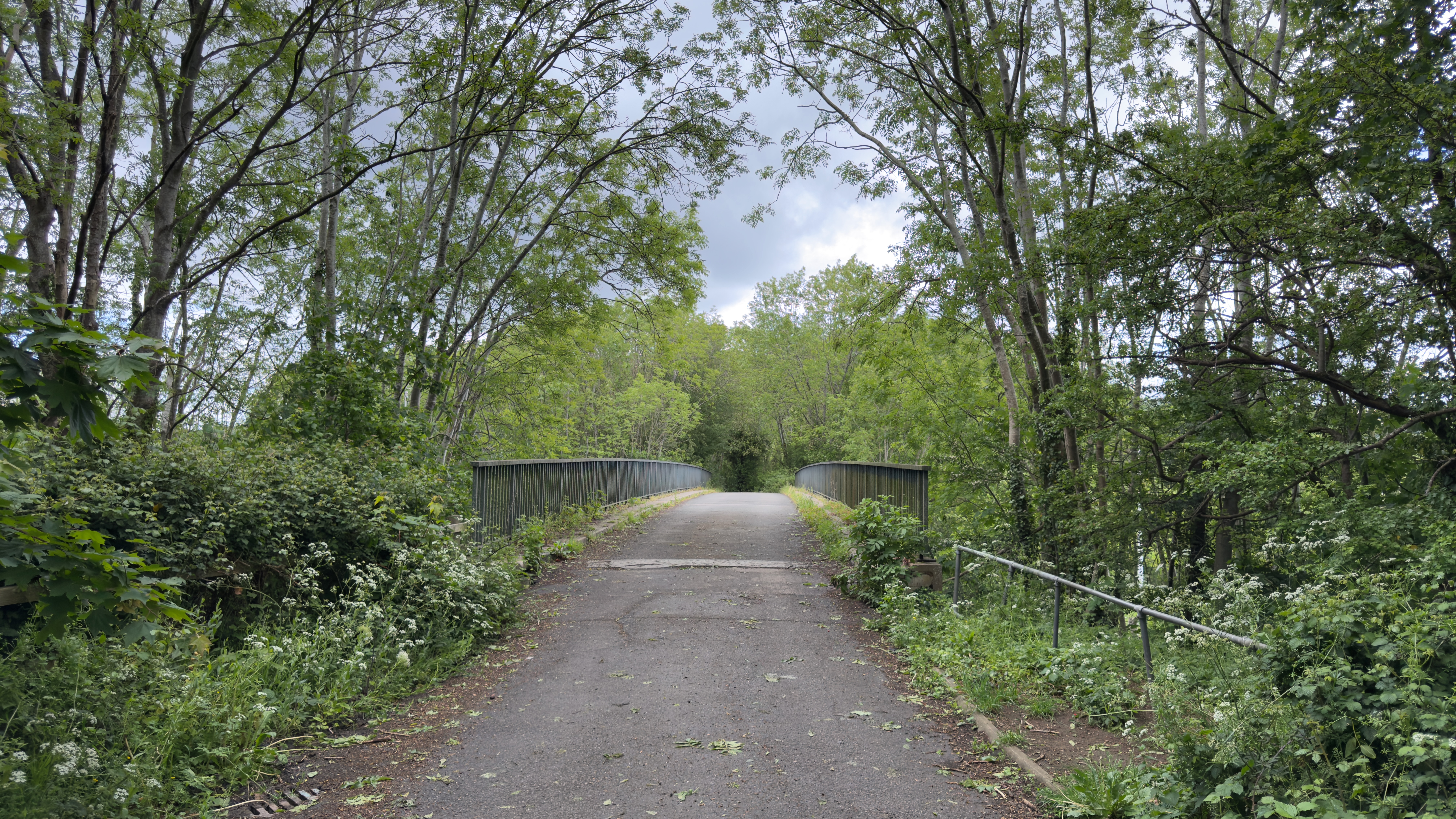
- After about 50m turn left (still technically in Larkhay Road). 100m later keep to the right - this will take you up to the bridge that crosses the A417 (you should be able to get your first glimpse of the brook from here, on your right)
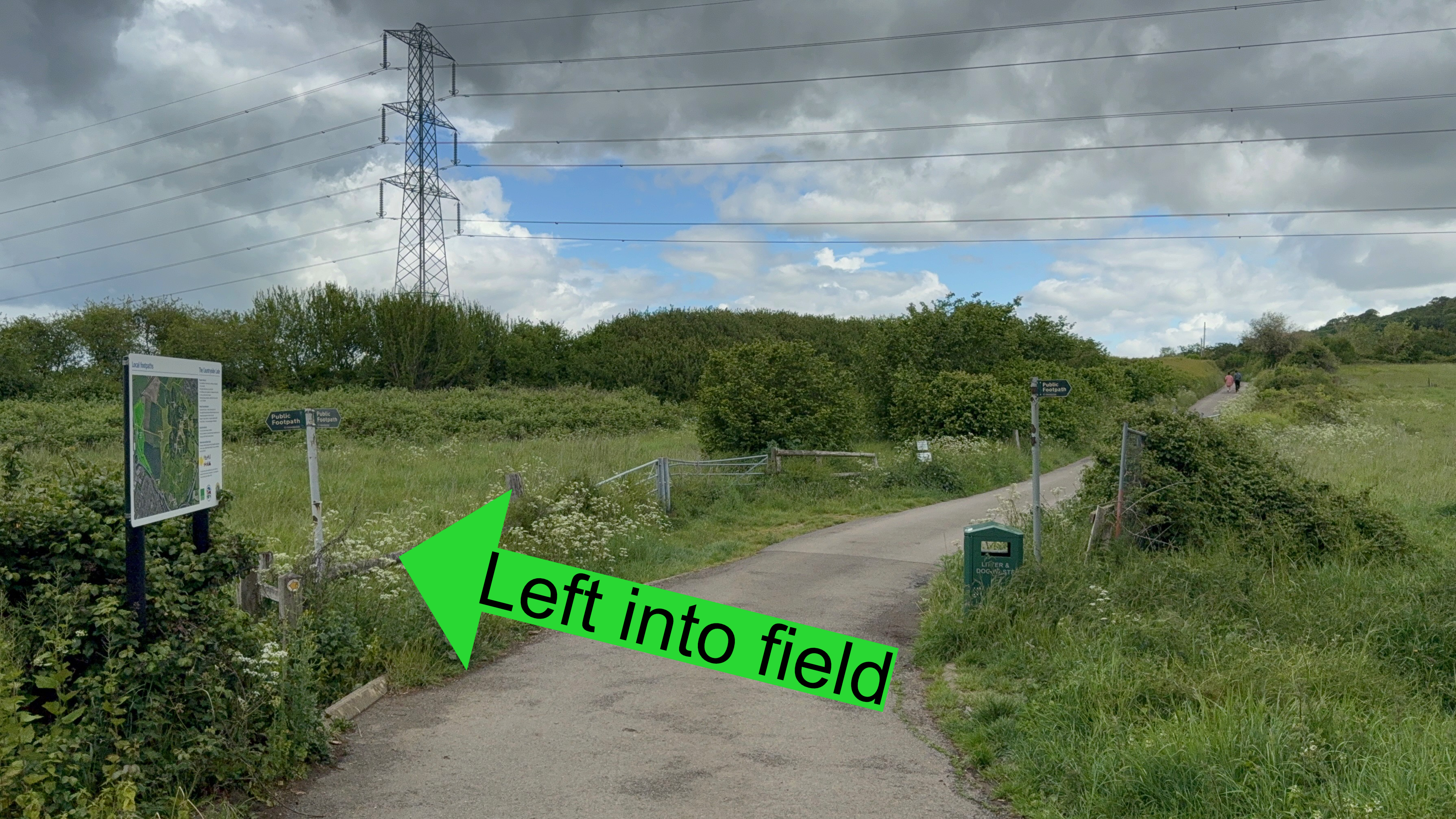
- As you come down from the bridge, on your left you’ll see a swing gate and a footpath sign. Take this path, go across the small field and the path continues in a wooded area, running alongside the A417. The path is well maintained, but it can be muddy here in winter, and there is road noise as the path runs parallel to the A417.
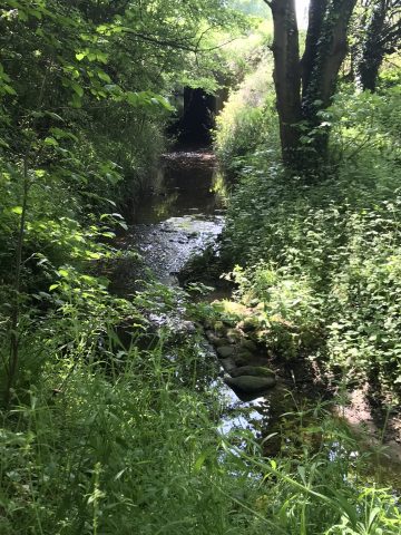
- After about 200m you should see the brook again on your left. This is a good spot for dogs to have a paddle (provided the water isn’t flowing too briskly).
- Go through the swing gate and continue through "Long Meadow" – you can either walk alongside the brook (on your left); or there’s a more regular path alongside the hedge on the right.
- The next swing gate brings you to the main wetlands area. The left route here is now closed, so the path turns right along the side of the wetland area. Keep your eyes peeled for the birds.
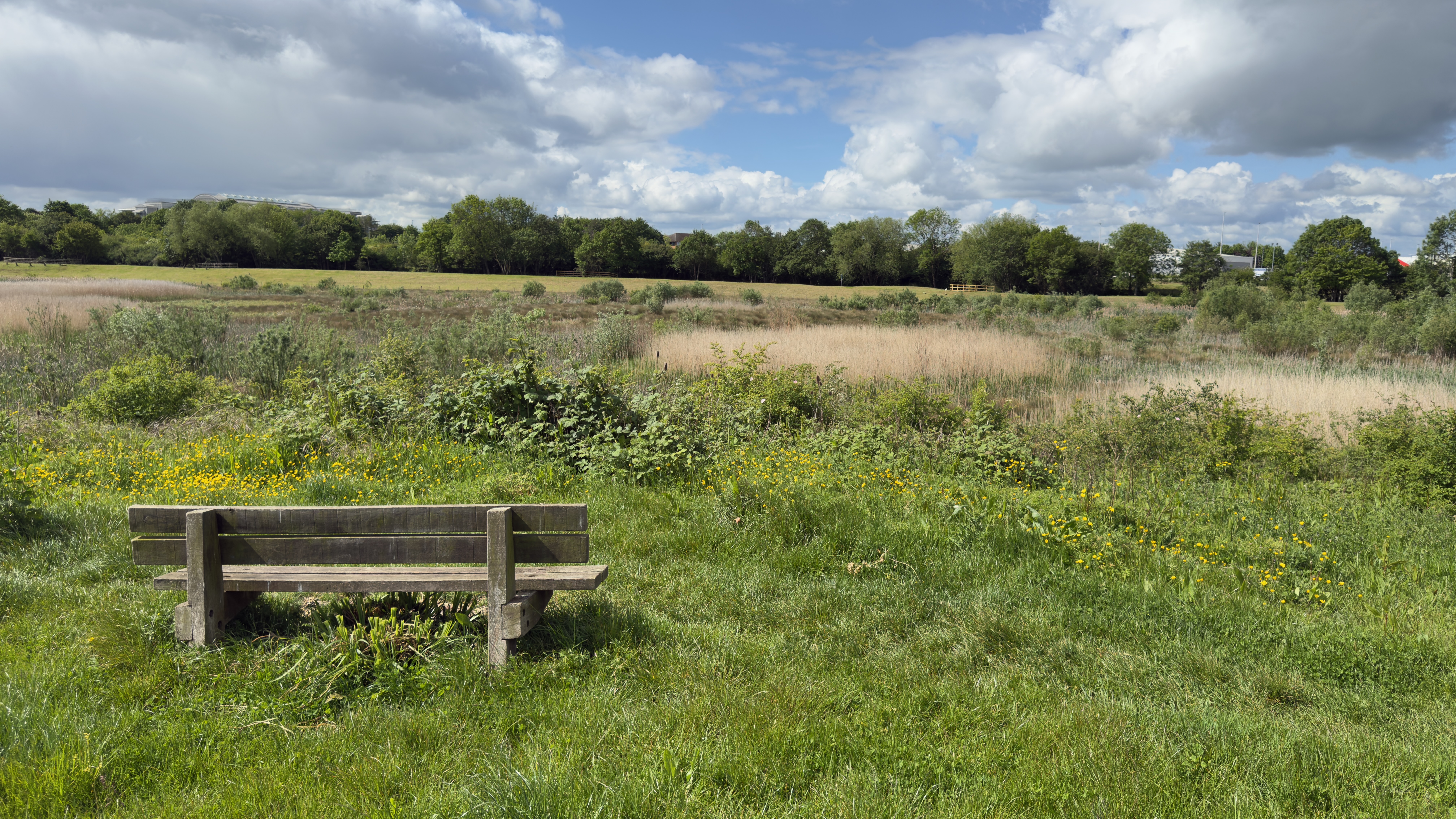
- Here, you can go through the swing gate and turn left; walking briefly along the path before entering the newer nature reserve through a swing gate on the right.
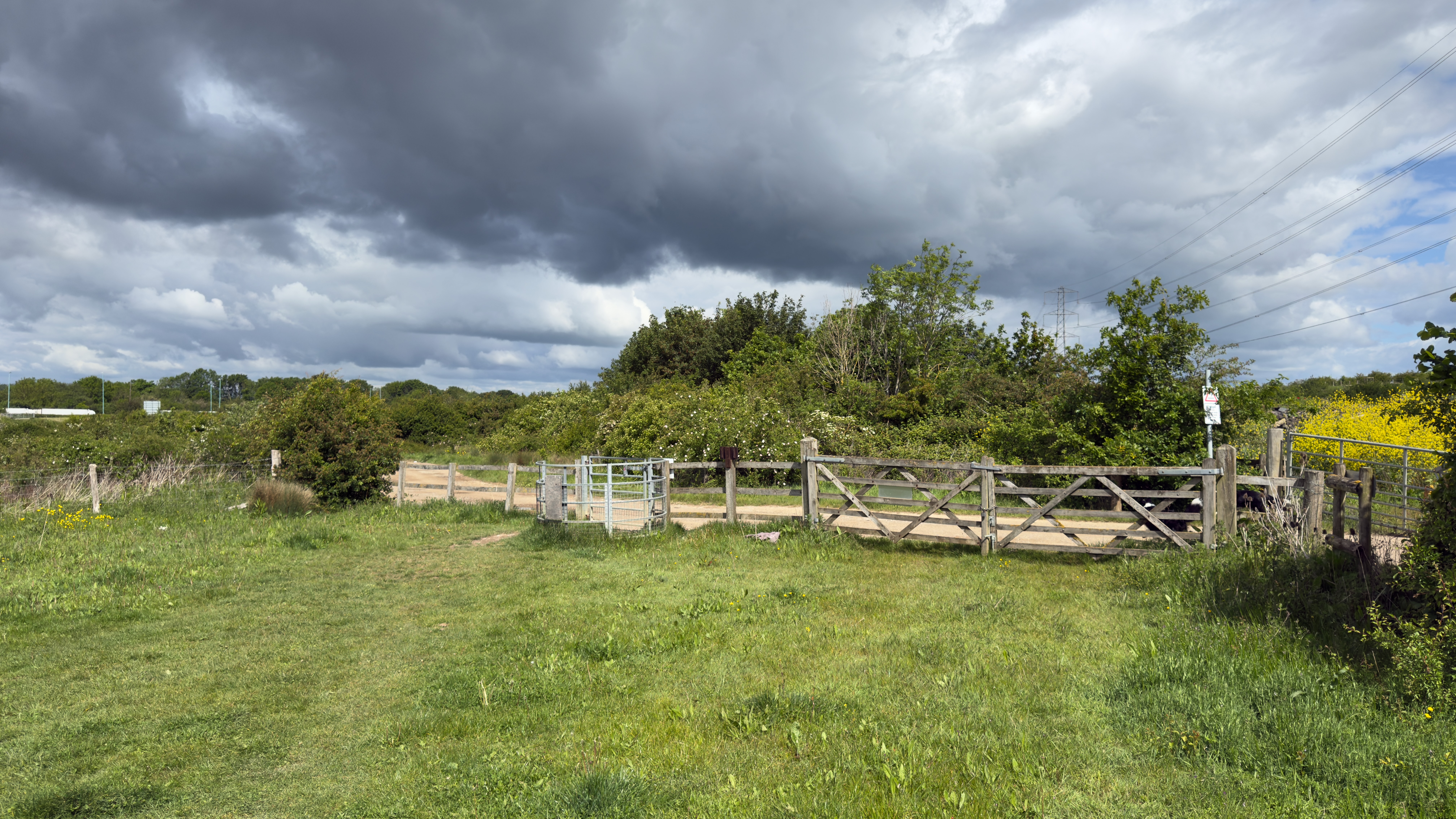
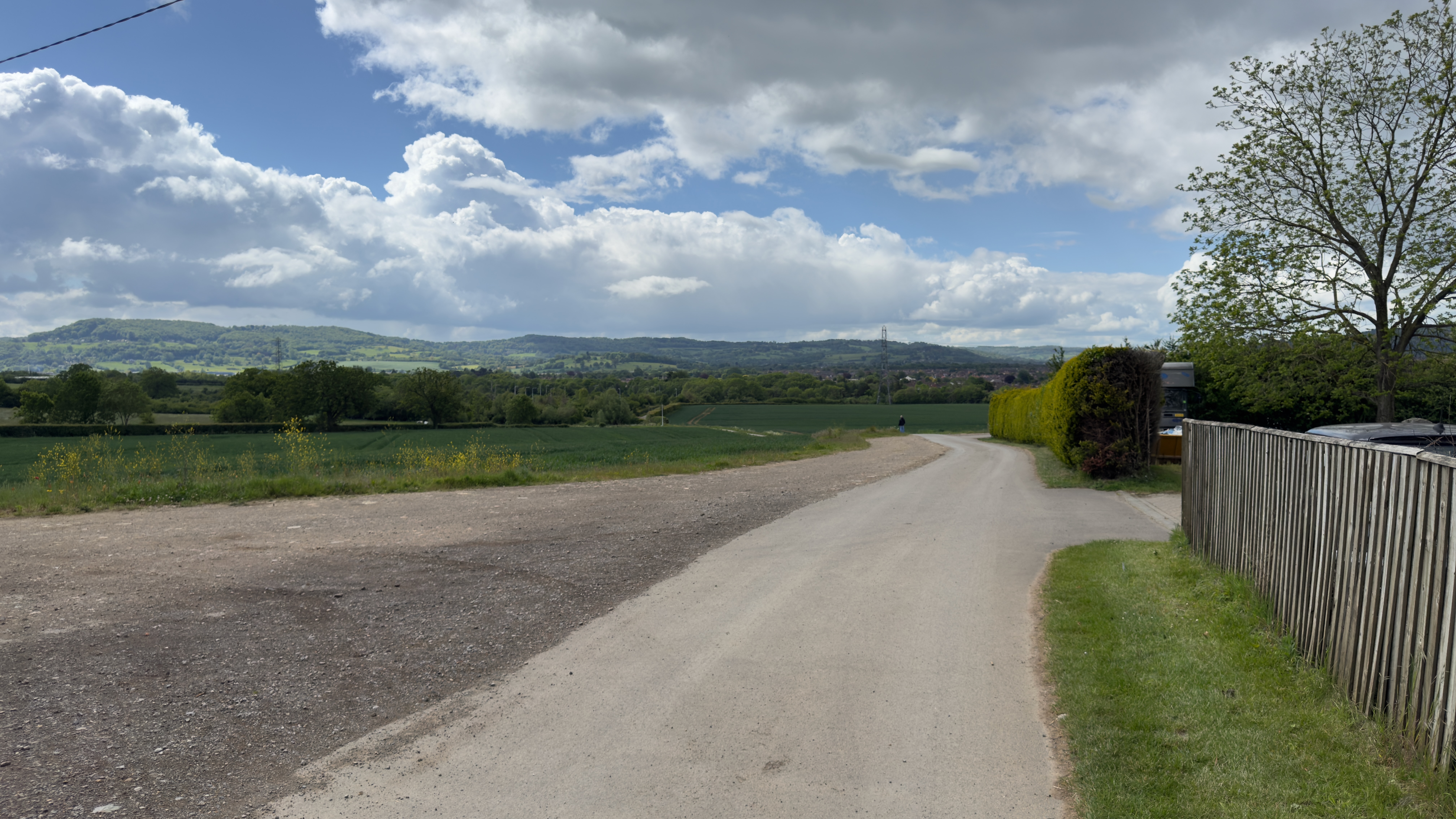
- To return to Larkhay Road, exit the swing gate at the end of the wetland area and turn right, long the track that heads west towards Chosen Hill. This path takes you up to Zoons Court Farm. In the spring, this area is a popular nesting spot for Skylarks, who hover and sing loudly over the fields.
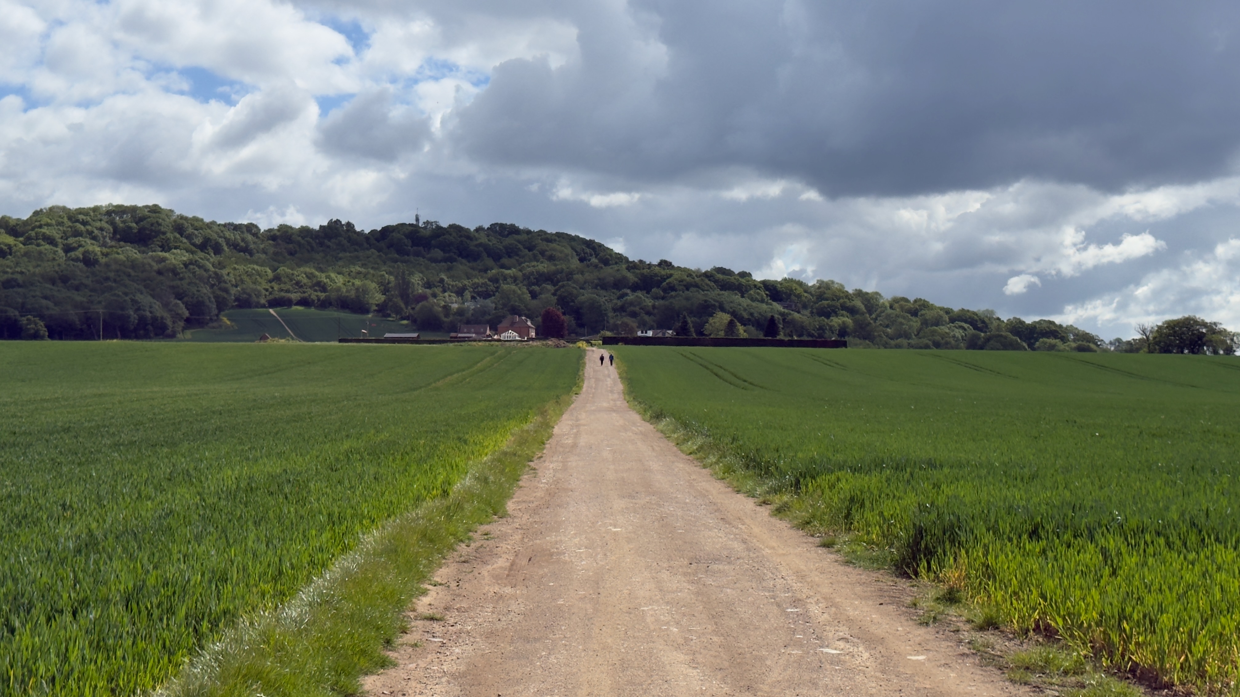
- Once you’ve reached the farm go right again along the tarmaced lane. This will take you back to the bridge over the A417.